VIEWAPP's new function: comparing the planned inspection location with the real inspection location
18.07.2023
Digital inspections generate a large number of photos and videos, each of which has its own inspection coordinate - in VIEWAPP, these are used, among other things, in the security system to prevent tampering.
A central coordinate is calculated in each inspection. It is now labelled with an icon of the type of asset that has been inspected, which increases visibility and user-friendliness. In the process settings, it is now possible to set whether or not the coordinates of a repeating process are used to calculate the inspection centre coordinate.
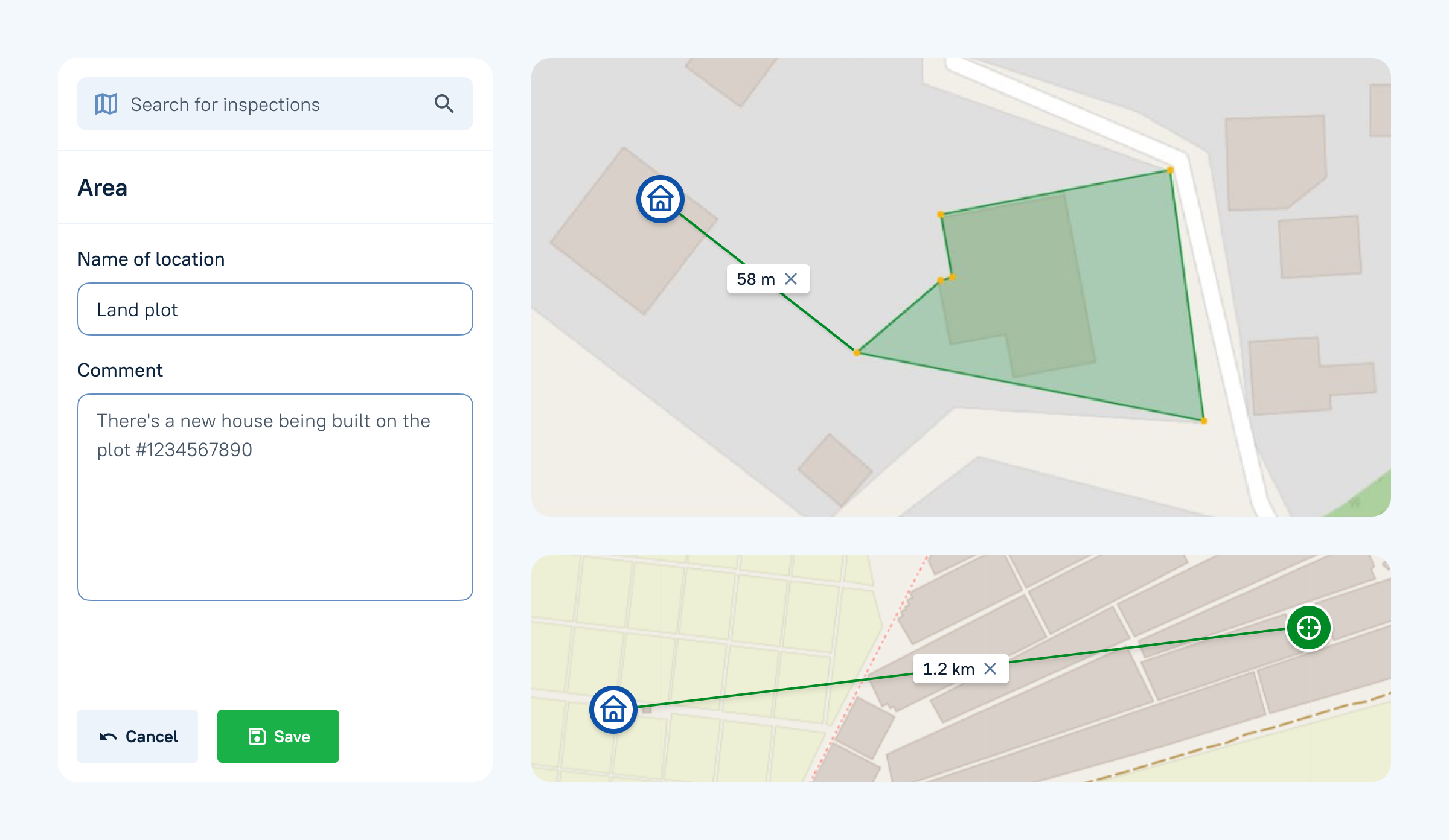
In VIEWAPP it is also possible to set a plan coordinate, which can be either a point or an area on a map that can be easily drawn.
After the survey, it is possible to do a coordinate comparison - click on the dotted line between the planned coordinate and the actual coordinate to find out the distance between them. There are such inspections when the user needs to understand how far the planned coordinate did not coincide with the actual coordinate, for example, it is relevant for inspection of land plots.